Thursday, November 30, 2006

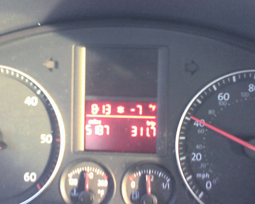
Yeah, it was cold this morning

Wednesday, November 29, 2006

Lies and Dammed Lies

I have always wondered just how much 'marketing' goes into snow total reports from ski area websites. Now, I've got a little evidence of just how much 'embelishment' there actually is, based on the last storm cycle here in the West. I looked at website reports and SNOTEL (Gov automated sites) of select resorts to compare just how accurate the reports are. Now, some things to remember are; the storm lasted two to three days and there was some settling between rounds and the SNOTEL stake is sometimes at a different location than the resorts stake. You might need to click on the table to see it up close. Anyhow, it looks like the CO resorts are the worst offenders, UT is middle of the pack and CA is best. Note that this is an n=1. I will look at these same places through the rest of the season to see if it's a trend.

Tuesday, November 28, 2006

Who's Got the Goods 11/28/06

Lot's of action this week. Big winners in the snow pack totals come from the PNW (and this is supposed to be an el nino year?). Mid storm totals are coming in for the Wasatch and it looks good, too. CO again takes it's usuall mid winter sloppy seconds role, with marginal increases. Tahoe is getting in on the game too, but will need at least one or two good dumps to be worth the trip.

Friday, November 24, 2006

SUN-MON-TUES

Could be good :). These "big" ones forecast by NOAA *generally* live up to their promise, but there always is a chance of missed forecast (see http://www.met.utah.edu/jimsteen/cirp/workshop/dunn_97/Default.htm).

*****************************

SPECIAL WEATHER STATEMENT
WWUS85 KSLC 241112 SPSSLC SPECIAL WEATHER STATEMENT NATIONAL WEATHER SERVICE SALT LAKE CITY UT 412 AM MST FRI NOV 24 2006 UTZ001>021-WYZ021-242300- CACHE VALLEY/UTAH PORTION-NORTHERN WASATCH FRONT- SALT LAKE AND TOOELE VALLEYS-SOUTHERN WASATCH FRONT- GREAT SALT LAKE DESERT AND MOUNTAINS-WASATCH MOUNTAIN VALLEYS- WASATCH MOUNTAINS I-80 NORTH-WASATCH MOUNTAINS SOUTH OF I-80- WESTERN UINTA MOUNTAINS-WASATCH PLATEAU/BOOK CLIFFS- WESTERN UINTA BASIN-CASTLE COUNTRY-SAN RAFAEL SWELL- SANPETE/SEVIER VALLEYS-WEST CENTRAL UTAH-SOUTHWEST UTAH- CENTRAL AND SOUTHWEST MOUNTAINS-HENRY MOUNTAINS- UTAHS DIXIE AND ZION NATIONAL PARK-SOUTH CENTRAL UTAH- GLEN CANYON RECREATION AREA/LAKE POWELL-SOUTHWEST WYOMING- 412 AM MST FRI NOV 24 2006 ...MAJOR WINTER STORM FORECAST TO IMPACT THE REGION EARLY NEXT WEEK... A STRONG AND UNSEASONABLY COLD STORM SYSTEM IS FORECAST TO IMPACT THE INTERMOUNTAIN REGION MONDAY INTO TUESDAY...POSSIBLY BRINGING HEAVY SNOW TO THE MOUNTAINS...AND THE FIRST SIGNIFICANT SNOWFALL OF THE SEASON TO THE WASATCH FRONT. BY LATE TUESDAY AFTERNOON SIGNIFICANT SNOWFALL ACCUMULATIONS ARE POSSIBLE ACROSS MUCH OF NORTHERN...CENTRAL AND SOUTHWEST UTAH. AS THIS SYSTEM APPROACHES THE AREA...PRECIPITATION MAY DEVELOP LATE SUNDAY NIGHT INTO EARLY MONDAY. THIS PRECIPITATION WILL LIKELY START AS RAIN ACROSS THE VALLEYS OF NORTHERN UTAH AND SNOW ACROSS THE HIGHER ELEVATIONS. AS THE COLD FRONT MOVES THROUGH THE AREA MONDAY AFTERNOON...SNOW LEVELS WILL QUICKLY FALL TO THE VALLEY FLOORS...WITH RAIN POSSIBLY CHANGING OVER TO SNOW IN TIME FOR THE EVENING COMMUTE MONDAY. SNOW...HEAVY AT TIMES...MAY PERSIST THROUGH MONDAY NIGHT AND INTO EARLY TUESDAY. AS THIS COLD FRONT PROGRESSES SOUTH...HEAVY SNOW MAY ALSO IMPACT THE MOUNTAINS OF CENTRAL AND SOUTHERN UTAH...AS WELL AS THE INTERSTATE 15 CORRIDOR BETWEEN FILLMORE AND CEDAR CITY. IN ADDITION TO THE SNOWFALL...AN UNSEASONABLY COLD AIRMASS WILL SPREAD ACROSS THE REGION TUESDAY AND WEDNESDAY...WITH HIGH TEMPERATURES IN MOST VALLEY LOCATIONS OF NORTHERN AND CENTRAL UTAH STRUGGLING TO REACH THE FREEZING MARK. AT THIS TIME...THERE IS STILL CONSIDERABLE UNCERTAINTY AS TO THE EXACT TRACK AND TIMING OF THIS POTENTIAL WINTER STORM. BE SURE TO MONITOR LATER OUTLOOKS AND FORECASTS FOR UP TO DATE INFORMATION ON THIS PENDING WINTER STORM...AS WELL AS POSSIBLE WATCHES AND WARNINGS.

Tuesday, November 21, 2006

11/21/06 Interesting Developments in the Forecast Models

As you may know, I am a somewhat obsessed observer of the weather prediction models out there in cyberspace. My favorites are the GFS, MRF and NAM models, in order. These three seem to provide the highest level of reality. On Friday, last week, all three were showing bleak forecast for the upcoming Thanksgiving week. So much so, that it looked like a dry weekend. What was curious to me was that a significant low was forecast to churn off the PNW coast for days, but completely shred apart as it made it's way inland. Now some things you should know about storms during the late Fall and Winter, they rarely stay put and if they make landfall near the Puget Sound, then they will usually transit SE across the West. The Friday models showed neither of those things happening. Seem mighty unusual to me. Well, now all the models are showing what I thought might be the case; a more progressive movement towards the Wasatch (at least a grazing blow). Time will tell, but sometimes a sixth sense with these forecasts is in order.

Monday, November 20, 2006

Who's Got the Goods? 11/20/06


In a word: Disappionting. I was hoping to see big gains from some of the usual reliable sources; WA, UT & WY. Although the snowpacks rose marginally, the warm weather of the latter half of the week and this week are not productive to upward trends. Even CO is slowing down its upward movement and in fact (IMO) is now just at a normal level for the season.

Friday, November 17, 2006

Thanksgiving Outlook

Been a busy week with M&A activities at work, but here's a look into what to expect during the long Thanksgiving week:

Locally (Wasatch) - GFS shows little activity during the period, with a brush-by on the 24th. Other models (UKMET & NAM) show a more vigourous trough, which would seem to be more plausible. Anyway, don't expect a huge dump over the period, but perhaps some activity. Temps are potentially an issue, but it looks cold enough for snow in the high country, rain in the valleys.

Rest of the Rockies- North will be snowy, South dry & warm

West Coast - WA & OR look busy, Tahoe gets the same brush by as the Wasatch. Tahoe looks to be on the warm side of the temps, though.

East - I'm not too experienced with EC weather, but it looks like snowmaking weather returns early in the week and persists until Friday, then a warm up. Any chance of precip looks to be on Sunday, but that might be a rain event (sorry).

Monday, November 13, 2006

Who's Got the Goods? 11/13/06


In a word: Better. Some impressive gains in the PNW. Utah & WY fared well too. Sorry, CO notsomuch. A potentially big dump is brewing for the Wasatch, so these numbers should be even better next week.

Sunday, November 12, 2006

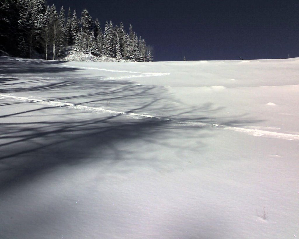
Made my 1st turns today. Empire Canyon, 6" new on top of 12-18" of consolidated base. Very lean in places, yet surprisingly good turning. Run out at the base had a few minor knicks on the bases, but otherwise escaped unscathed.

Wednesday, November 08, 2006

Here we go!

Snow Advisory
URGENT - WINTER WEATHER MESSAGE
NATIONAL WEATHER SERVICE SALT LAKE CITY UT
259 PM MST WED NOV 8 2006
.A COLD AND MOIST STORM WILL MOVE ACROSS NORTHERN UTAH LATE
TONIGHT AND THURSDAY MORNING. HIGH PRESSURE RETURNS FOR FRIDAY
FOLLOWED BY ANOTHER MOIST STORM SATURDAY.
UTZ008-009-090600-
/O.NEW.KSLC.SN.Y.0040.061109T1200Z-061109T2300Z/
WASATCH MOUNTAINS SOUTH OF I-80-WESTERN UINTA MOUNTAINS-
259 PM MST WED NOV 8 2006
...SNOW ADVISORY IN EFFECT FROM 5 AM TO 4 PM MST THURSDAY..
THE NATIONAL WEATHER SERVICE IN SALT LAKE CITY HAS ISSUED A SNOW
ADVISORY...WHICH IS IN EFFECT FROM 5 AM TO 4 PM MST THURSDAY.
THIS SNOW ADVISORY IS FOR THE WASATCH MOUNTAINS SOUTH OF I-80 AND
FOR THE WESTERN UINTA MOUNTAINS.
RAIN SHOWERS WILL BEGIN TO CHANGE TO SNOW AFTER MIDNIGHT TONIGHT
AS A COLD FRONT SLOWLY MOVES SOUTH ACROSS THE AREA. OCCASIONAL
SNOW WILL THEN CONTINUE THROUGH THE DAY THURSDAY. BY LATE
THURSDAY AFTERNOON...4 TO 8 INCHES OF NEW SNOW IS EXPECTED ABOVE
8000 FEET WITH 2 TO 6 INCHES BELOW 8000 FEET. THIS SNOW ADVISORY
MAY NEED TO BE EXTENDED INTO THURSDAY EVENING IF LAKE EFFECT SNOW
SQUALLS BEGIN TO DEVELOP.
A SNOW ADVISORY MEANS THAT PERIODS OF SNOW WILL CAUSE PRIMARILY
TRAVEL DIFFICULTIES. BE PREPARED FOR SNOW COVERED ROADS AND
LIMITED VISIBILITIES...AND USE CAUTION WHILE DRIVING.
$$
FOR MORE INFORMATION FROM NOAA/S NATIONAL WEATHER SERVICE VISIT..
HTTP://WEATHER.GOV/SALTLAKECITY (ALL LOWER CASE)

Tuesday, November 07, 2006

Who's Got the Goods? 11/6/06


In a word: Bleak. Grand Targhee is the only place that actually picked up snow this week. CO still has a good start to the snowpack, but that's about it. Despite all the hoopla, bases in the 20s is still pretty bleak. I predicted earlier that the backsliders would end soon, and boy, it sure likes that is the case. Later this week, it looks like the normal PNW lows start to track across the West in a series of colder & stronger lows. Stay tuned. I hope to see a significant jump in the numbers I report next week.

Monday, November 06, 2006

What's in Store This Week?

Westerlies start to make their way in from the Gulf of Alaska. 1st one or two have to batter down the high parked over the West, then get colder & colder (and carry more moisture) as they go. Looks like this pattern wil continue for a while, getting WA, OR, CA, ID & UT in on the action. CO will start to take it's usual bridesmaid position of getting the dregs. GFS shows this pattern in the latest 14 day forecast:

http://ggweather.com/qpf/qpf_gfs_00z_loop.htm

Sunday, November 05, 2006

Ever Wonder If It Used to Snow More When You Were a Kid?

Sure seemed to for me, growing up in California. Here's proof. Red means the trend has been less snow, blue is more and yellow is about the same. Good thing I now live in Utah ;) (courtesy UCSD data).


Just go back from London. Will post an update on snow totals Monday, after jet lag subsides.